Grids and Triangles
Listen to this storyTwo things gave variety to the grid, the Avon River twisting and bending through the city and the two diagonal streets cutting across the grid.
John Wilson
Grid City
Thomas’s plan for Christchurch (laid out by the surveyor Edward Jollie by March 1850) was the ‘standard’ rectangular grid of colonial settlement (adopted for ease of survey and to facilitate land sales). Thomas did not allow Jollie to include crescents to provide variety, but the Avon River ran eccentrically across the site. Two diagonal streets (High Street/Ferry Road leading to Ferrymead, Heathcote and Sumner and Victoria Street/Papanui Road leading to the Papanui Bush) also broke the regularity of the grid. At the very centre of the city was a ‘Square’ (actually cross-shaped) intended as a grand centre for the city and the site of the proposed cathedral and grammar school. East and north-west of the Square were two more ‘squares’ (actually oblongs) which were placed more or less regularly in relation to the diagonal line of the Avon running in a north-easterly direction across the city to the west and north of the central square.
John Wilson, ‘Contextual Historical Overview for Christchurch City’, contextual study for Christchurch City Council, June 2005, p 11
-
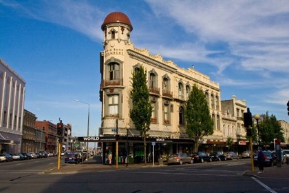
Image: Heritage New Zealand -
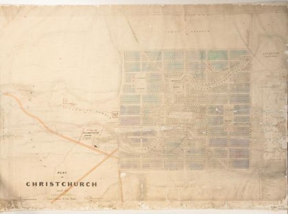
Image: Christchurch City Libraries -
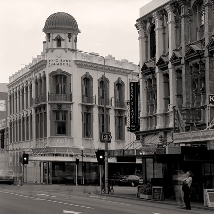
Photo by Doc Ross -
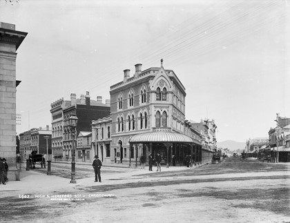
High and Hereford Streets, Christchurch, circa 1880s. Burton Brothers studio / Museum of New Zealand Te Papa Tongarewa / C.011594 -
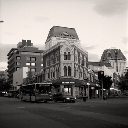
Photo by Doc Ross -
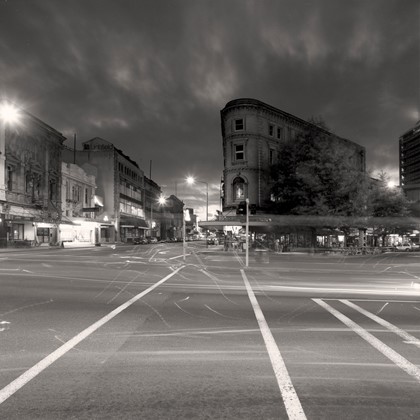
Photo by Doc Ross -
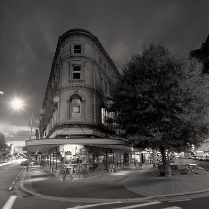
Photo by Doc Ross